_4Web.png)
Archive Record
Images
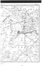
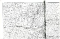
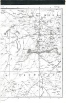
Additional Images [11]


Metadata
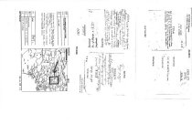
Object ID |
2009.003.0003 |
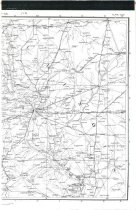
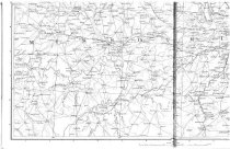
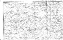
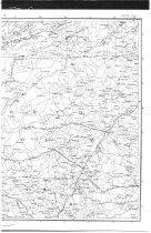
Object Name |
Map |
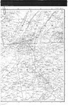
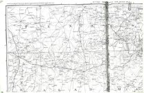
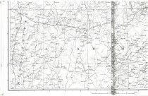
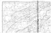
Scope & Content |
Map of region along Mississippi R. from Des Moines R. to Chickasaw Bluffs & west to Rock Mts. Territory of the Osages and the Arkansas, 1803-04 |
Dates of Creation |
1803-4 |
Creator |
Nich. King |
Title |
Lands ceded by the Osages |
Collection |
The King Research Collection: Trail of Tears |
Lexicon category |
8: Communication Artifact |